The cornerstone of autonomous car technology: the invention of GPS
GPS is a space-based satellite navigation system that provides location and time information in all weather conditions with four or more satellites in an unobstructed line of sight on Earth. So how was GPS invented?

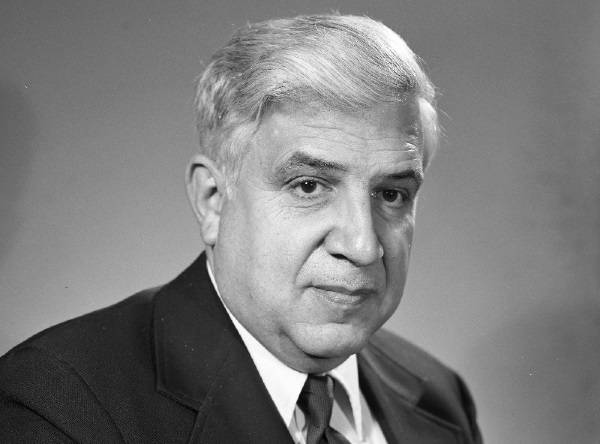
Roger Easton was a key figure in the development of GPS, the Global positioning system, a ubiquitous feature of modern life.
Easton's experiments with satellite tracking began in 1964. Ten years later, he received a patent for his "Navigation System Using Satellites and Passive Changing Techniques". His system included the essential features of modern GPS, and since Roger Easton was a scientist at the Naval Research Laboratory, the technology gave the United States a Cold War military advantage.
Roger Lee Easton, Sr. (April 30, 1921 – May 8, 2014) was an American physicist and state representative who was the principal inventor and designer of the Global Positioning System, along with Ivan A. Getting and Bradford Parkinson.
The first satellite navigation system, Transit, was used by the United States Navy and was first successfully tested in 1960. In 1967, the US Navy developed the Timation satellite, which proved its ability to place accurate clocks in space, a technology on which the GPS system is based. In the 1970s, the ground-based Omega Navigation System, based on signal phase comparison, became the first worldwide radio navigation system.
1999 Cell phone manufacturer Benefon released the Benefon Esc!, the first commercially available GPS phone. This phone was mainly sold in Europe, but many other GPS-enabled mobile phones have followed suit.
In 2000, the U.S. Department of Defense ended the GPS-distorting signals it had implemented before the 1993 Gulf War. This allowed GPS overnight to become ten times more accurate and is being used in all kinds of industries, from fishing to forestry to cargo management.
Easton died at the age of 93. Without GPS, autonomous car technology would not be possible.
GPS, short for Global Positioning System, is a system in which a group of satellites continuously transmit microwaves at different wavelengths. GPS receivers receive the signals sent by these satellites and thus determine their position on earth. GPS was developed by the US government in 1993, but there are similar systems developed by other governments (such as Russia's GLONASS, China's COMPASS, and Europe's GALILEO).
GPS is an extremely useful system and has both commercial and individual uses. While it is used in many fields such as tracking targets, finding positions in unknown areas and mapping the direction of missiles in the military field, it has a wide range of uses from navigation systems used in cars to smart phones. It is also known to be used in the follow-up of tectonic activities such as earthquakes and landslides.
