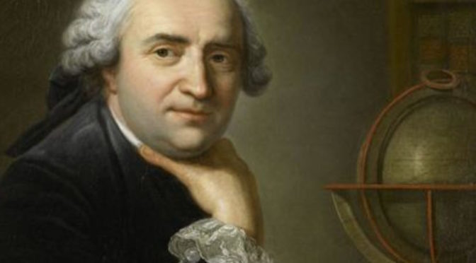
The European who drew the most accurate maps of China: Who is Jean-Baptiste Bourguignon d'Anville?
The map of Africa, drawn in 1749, remained the most accurate source of the continent until the discoveries made in the 19th century.

(1697-1782) French geographer and cartographer. Especially the maps of some parts of Asia have been considered the most reliable source for many years. Jean-Baptiste Bourguignon d'Anville was born in Paris on July 11, 1697, and died in the same city on January 28, 1782. He was 22 years old when he was appointed geographer to King Louis XV of France, and there had never been a geographer in France before him.
Jean-Baptiste Bourguignon d’Anville, (born July 11, 1697, Paris, France—died Jan. 28, 1782, Paris), French geographer and cartographer who greatly improved the standards of map-making.
The maps that d'Anville drew based on the research of Jesuit priests in China as a missionary and published under the name Atlas de la Chine ("Atlas of China") in 1727 are the most accurate maps of China ever made. Correcting many mistakes in maps made before him in Analyze Geographique de l'Italie (“Geographical Study of Italy”), published in 1744, d'Anville both gave geographical information about Italy and what method he used while drawing the map. explained. The map of Africa, drawn in 1749, remained the most accurate source of the continent until the discoveries made in the 19th century.
Enriching his meticulously and truthfully drawn maps with valuable information about that region, Anville is considered one of the major geography and mapping experts of the 18th century. His work named Geographie Ancienne (“Old Geography”), which is about ancient geography and was prepared by using the most reliable sources, was translated and reprinted in many languages after his death. Anville's collection of approximately 10,000 maps and plans, a survey of Istanbul, and a drawing correcting the mistakes in old Istanbul maps were published in the minutes of the Academie des Inscriptions et Belles-Lettres in 1770, and all of his works were published in bulk in 1834. It is in the Bibliotheque Nationale.
WORKS (mainly):
Atlas de la Chine, 1727, (“Chinese Atlas”),
Analyze geographique de l'ltalie, 1744, (“Geographical Study of Italy”);
Geographie ancienne, 1769, (“Old Geography”).
